Paragliding mode
This new mode is available via MENU > MODES > Paragliding mode.
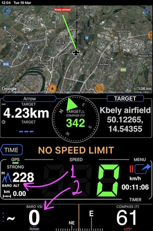
Paragliding screen includes the map, arrow to target, horizontal and vertical speeds, options for barometric altitude or height (QFE and QNH), compass. Here is the look:
Paragliding mode is built upon Ollivier P. suggestions and huge thanks to Ollivier for his ideas and also testing this mode in the air.
For paragliding, Ollivier needed to have more options for the altitude, having barometric pressure options for altitude above sea and height above an air field. Plus having Vertical speed indicator without losing the compass.
Paragliding mode enables all of this.
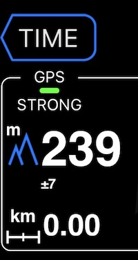
“Mountain” icon left to the altitude readings is now a button (#1), so you can configure barometric altitude or height options:
More information on barometric altitude or height options.
Created for this mode “BARO VSI + Compass” panel (#2) shows vertical speed plus compass:
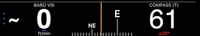
Vertical speed indicator supports showing speed in feet/m, meters/m, meters/second. To change the units, tap on a vertical speed indicator area.
This feature is available only in the full version. You can upgrade by tapping here.
All modes: Default mode ▪︎ Waypoints monitor (e.g. speed cameras) ▪︎ Rally computer ▪︎ Taximeter ▪︎ Map ▪︎ Heads up speed display ▪︎ Full screen speed display ▪︎ Full screen map display ▪︎ G Force acceleration monitor ▪︎ Land navigation mode ▪︎ Idle timer and alert mode ▪︎ Water sports boat mode ▪︎ Paragliding mode