Version 3.5 - What's new?
- Overzoom and underzoom for offline maps:
- Allows to show the offline map for zoom levels that are not downloaded or imported.
- With overzoom you can download zoom level 2-16 and let the map upscale from zoom level 16 to 17-19 as you zoom in.
- Overzoom and underzoom is applied automatically, no need to set up anything.
- For the best experience with offline or custom/blank maps on iOS 16, please be sure to have iOS 16.4 or later.
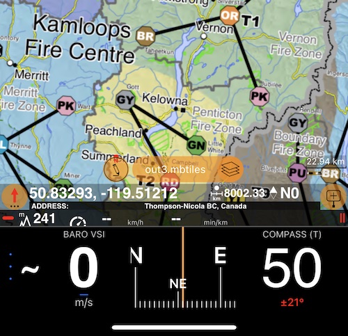
More information on overzoom and underzoom.
- Improvements for land navigation:
- New automatic check-in option that allows to check-in by simply entering the circle around the target.
- Settings button in the ‘Set Target’ menu now opens the land navigation settings screen.
- ‘Set Target’ menu now shows information on navigation settings.
New page on automatic check-in options.
- Track list improvements. MENU > Tracks:
- Track list now shows total mileage and duration for each day with tracks recorded.
- Applied filter, number of shown tracks and their total distance is now shown at the bottom of the track list.
- You can now trim recorded track at its end.
Use ‘≣’ button in the single track preview screen.
- Camera tool:
- You can now re-apply comments from existing points/photos to fill all manual comment fields for the new photo, at once. Should give a productivity boost for re-inspections. It’s a new bottom section in the comments editor screen.
- Removed full swipe delete gesture in the list of photos as it was causing unwanted deletes. Thank you for the feedback! You can still delete by swipe, but need to swipe and then tap on the delete button.
Bug fixes and optimizations:
- Import of tracks from KML and GPX should be now 10x faster.