Inner angles of an area
Does the survey area match the angles on its map? Is that corner of the camp or the site really square? Turn on angle annotations, and every corner of an area shows its inner angle, right on the map, next to the side lengths.
Turn it on
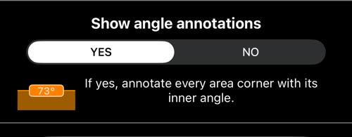
While you edit an area, tap the settings button between the perimeter and the area values at the top of the map, choose the Annotations tab, and set Show angle annotations to YES. It is off until you turn it on.
How to create and edit areas.
What you see
- A label inside every corner, in whole degrees, such as
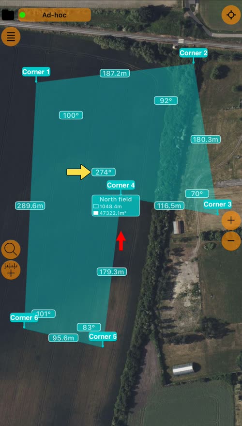
92°. - A corner that turns inward shows more than 180°. In the field above, the fourth corner reads 274°: the land goes around it, as in an L-shaped plot.
- A point on a straight side shows about 180°. That is correct: the side does not turn there.
- The labels stay inside their corners when you zoom or turn the map.
- Areas only. Routes and circles have no corners to measure.
Angle labels appear together with the length labels, while the map is not following your location. An area with more than 400 points (100 on the Google map) hides its angle and length labels, and the app tells you why.
Check a measurement with it
- The angles add up. The inner angles of an area always total (corners − 2) × 180°: 360° for four corners, 540° for five, 720° for six. The field above: 100 + 92 + 70 + 274 + 83 + 101 = 720°. A total far from that means two sides of the shape cross: check the order of its points.
- Against the map. Compare each corner of a survey area, a search sector or a property boundary with the angles on its map or plan.
- Square corners. A building footprint, a fence line or a camp layout should show 90° where you meant one.
- A misplaced point. A sharp spike, such as a 15° corner where the ground has none, usually means a point was placed or moved by mistake.
The angles are measured between the sides as you drew them on the map, so they are as accurate as the points you placed.
