Land book library
Books and this sample library are currently available in the public beta while we refine them with beta users before the App Store release.
Land books for Compass 55: the route with its course notes, the points as a collection, the map with its offline database
and ground overlays, all in one .navbook file. Open this page inside the app and tap an “Open” link; the app downloads
the book and shows its page, where Import what is missing brings its pieces onto the device and Run starts it.
main MENU > Books > + > Book library — then tap the open link for the book you want.
Reading this in a browser? The “Open” links only work inside the app, so open this page there. You can also open a
.navbook file from Files or one sent to you; every book you open is kept on the Books shelf.
See Books for the whole flow.
This library contains example books to help you make your own. Open one, run it and walk it on the map, then tap Edit book to see how it is put together: its route and course notes, the stations collection, the map with its offline tiles and the historic map laid over it. Use it as inspiration for books made from your own routes, waypoints, tracks and maps.
What a book’s screens look like, from its page and running it to Edit book: Books .
The Old Village Hunt — Yosemite Valley, family loop (6.6 km)
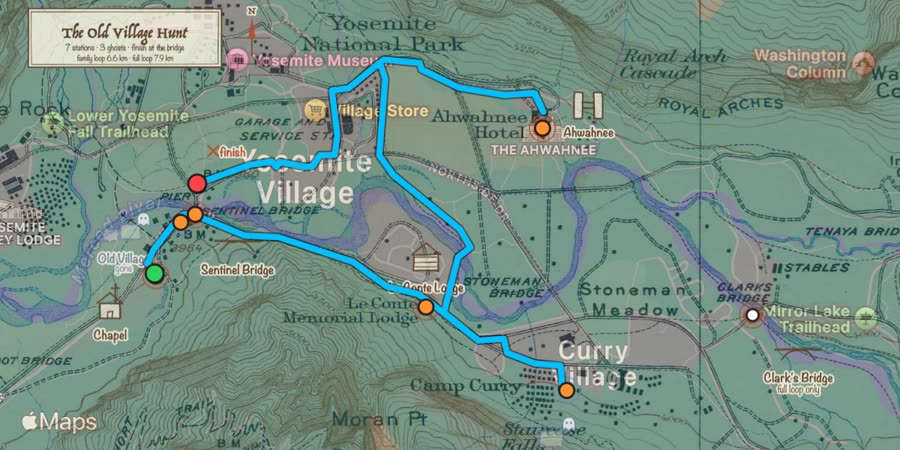

A treasure hunt on the valley floor with the 1929 USGS map of Yosemite Valley (F. E. Matthes, public domain) laid over today’s map: seven stations, each with a riddle the old map answers.
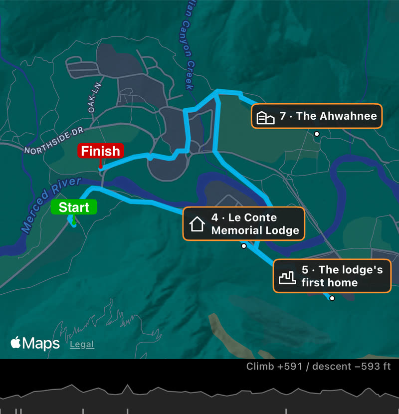
The book contains:
The route: a 6.6 km walking loop from the Yosemite Valley Chapel past the Old Village site, Sentinel Bridge and the Le Conte Memorial Lodge to the Ahwahnee, with elevations along it.
7 course notes, one per station and the finish, read aloud as you reach them, each with a road book symbol (church, village, bridge, lodge, ruins, hotel, finish) on the map, the book’s panel and the notes list.
The stations as a collection, “Old Village Hunt”, with the riddles in their descriptions.
The Blocoware Open Street Map offline map of the valley (zoom 12–16, 2.2 MB) and two ground overlays: the 1929 Matthes map at 50% and the treasure-hunt drawing.
The Old Village Hunt — Yosemite Valley, full loop (7.9 km)
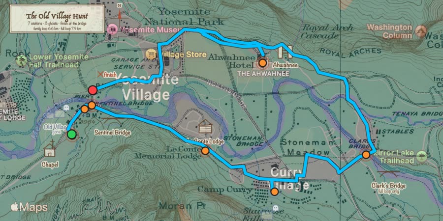

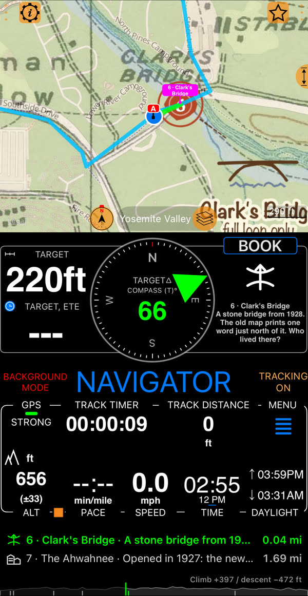
The same hunt with one more station, Clark’s Bridge: eight course notes on a 7.9 km loop, the same collection, offline map and overlays.
Have a book you would like us to consider adding here? Write to support@blocoware.com .