Climb: how steep is it, and how far to the top?
How steep is this, how much have I climbed, and how far is it to the top? The Climb panel answers while you ride: the grade under your wheels, this climb so far, and, along a track you pick, how far and how high it is to the top, with the profile ahead.
The Climb panel
Open the small panel’s menu along the bottom of the screen (its •••), choose Pick what to show here, then Climb.
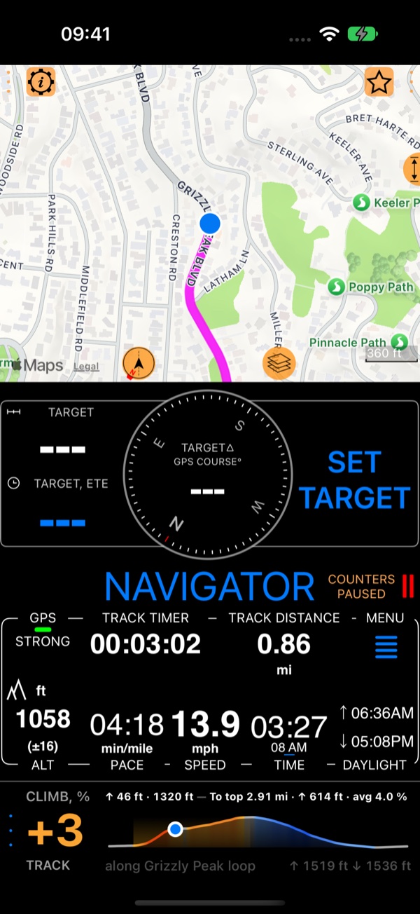
- The grade in percent, from the last 100 m or so of road: amber up, blue down. A dash means the GPS altitude is not good enough for a number right now.
- This climb: how much you have climbed and how far, while you are climbing. At the top it shows the climb’s total for a few seconds, then the descent.
- To top: the distance, the height and the average grade to the top of this climb. It needs to know the road ahead: a track you climb along, a route with its elevation, or a running book.
- The profile of the course, your dot on it, and the climb and descent of the whole course. A dashed, grey stretch is road without a GPS fix or a trusted altitude ( Breaks in a track ).
Climb along a track
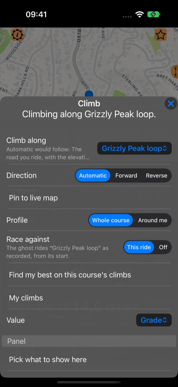
Tap the panel’s ••• for its menu:
Climb along: the track (or route) the panel follows for the road ahead.Automaticfollows what you navigate by (a running book, a route);Choose a track…picks any track you have recorded.Direction:Automatic,ForwardorReverse, for a track you ride the other way round.Pin to live map: the track’s line on the map.Profile:Whole course, orAround mefor a close look at the road near you.Race against:This rideraces the track you climb along: its ghost rides with you from the track’s start. See Ghost race .Find my best on this course's climbsandMy climbs: see Am I getting faster up this hill? .
To top
With a track to climb along, To top tells you what is left of the climb you are on: “To top 2.91 mi · ↑ 614 ft · avg 4.0 %”. Without the road ahead it says so (“no climb here”, or “pick a course”); the app never guesses a summit.
Along the map
Tap the map’s enlarge button once (↕, on the map’s right edge): the map takes the place of the compass panel. Then touch
and hold the map and choose Show elevation profile: while the map follows you, the live climb runs along the map’s
foot (the same menu hides it).
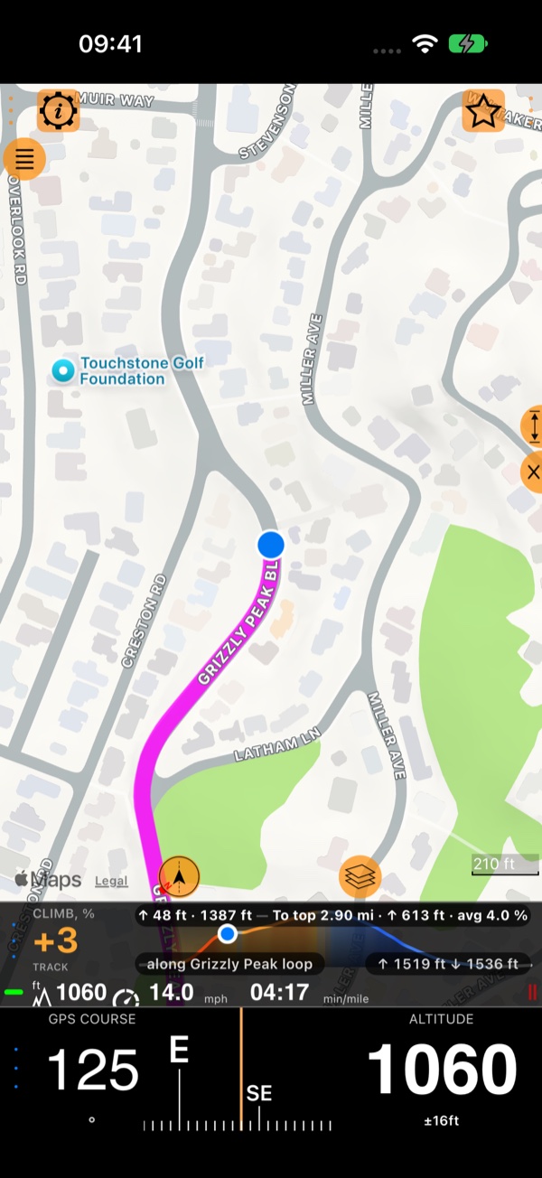
With the climb along the map’s foot, the small panel at the bottom of the screen is free for something else. Here it is
Compass and altitude: your heading (magnetic, GPS course or automatic) and your altitude. Tap its ••• and choose
Pick what to show here to put any other panel there.